img583
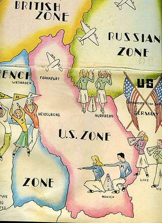
This map of Central Europe shows where the high schools were located in 1949. This yearbook was produced by the Headquarters Command of Europe at the end of the year for all of the high schools and this is the section of that book sent in by the Frankfurt Yearbook Staff.